Ayuhwasi
For generations this valley was Cherokee land. The river's name comes from Ayuhwasi, a Cherokee town on its banks. In 1838 the U.S. Army forced the Cherokee from these mountains. The Trail of Tears began at Fort Butler, upriver at Murphy.
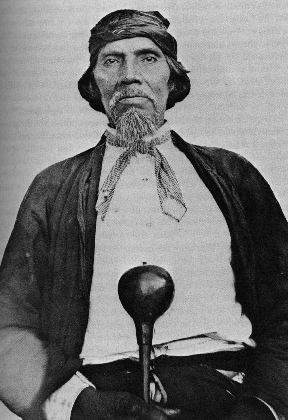
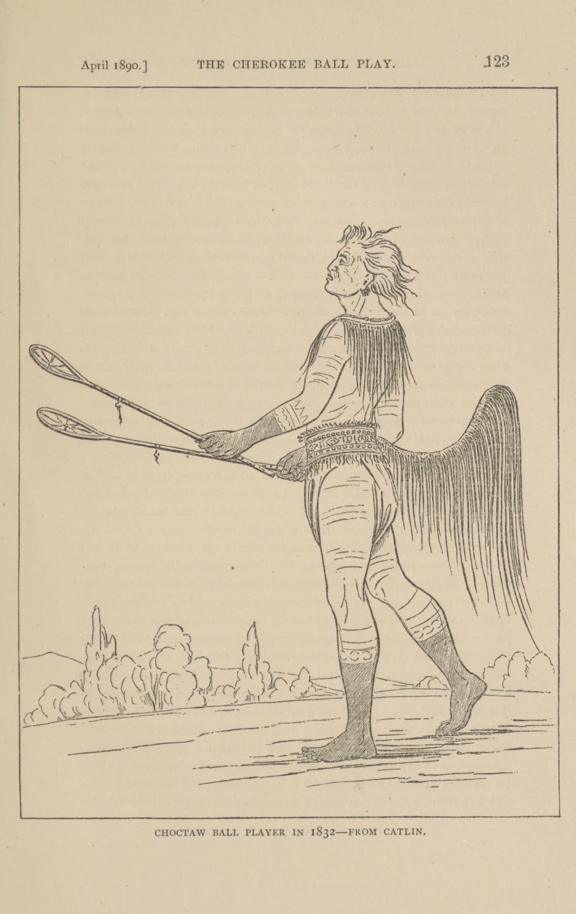
For generations this valley was Cherokee land. The river's name comes from Ayuhwasi, a Cherokee town on its banks. In 1838 the U.S. Army forced the Cherokee from these mountains. The Trail of Tears began at Fort Butler, upriver at Murphy.
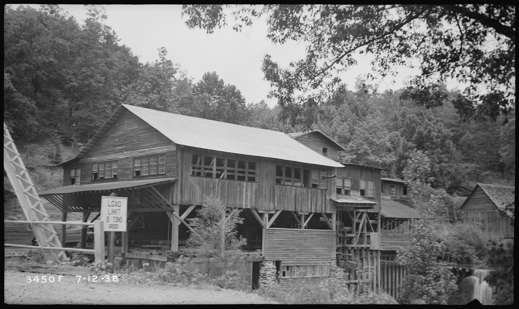

In the years after removal, Scots-Irish families came over the mountains from the Carolina Piedmont: Morrows, Hambys, Stileses, Hogsheds, Ramseys and more. They cleared bottomland along the river, planted corn, and built log homes and barns in the hollows. The Morrows left their name across the land: Morrow Gap, Morrow Creek, Morrow Road and Morrow Cemetery.
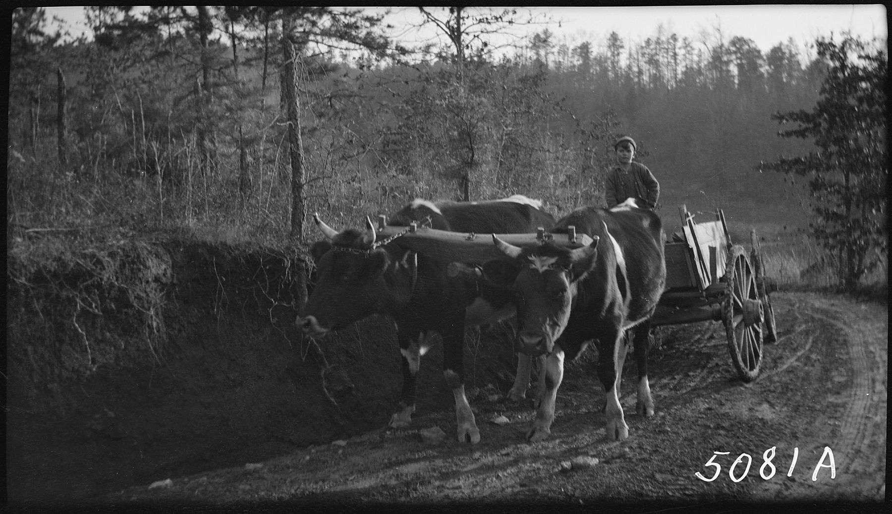
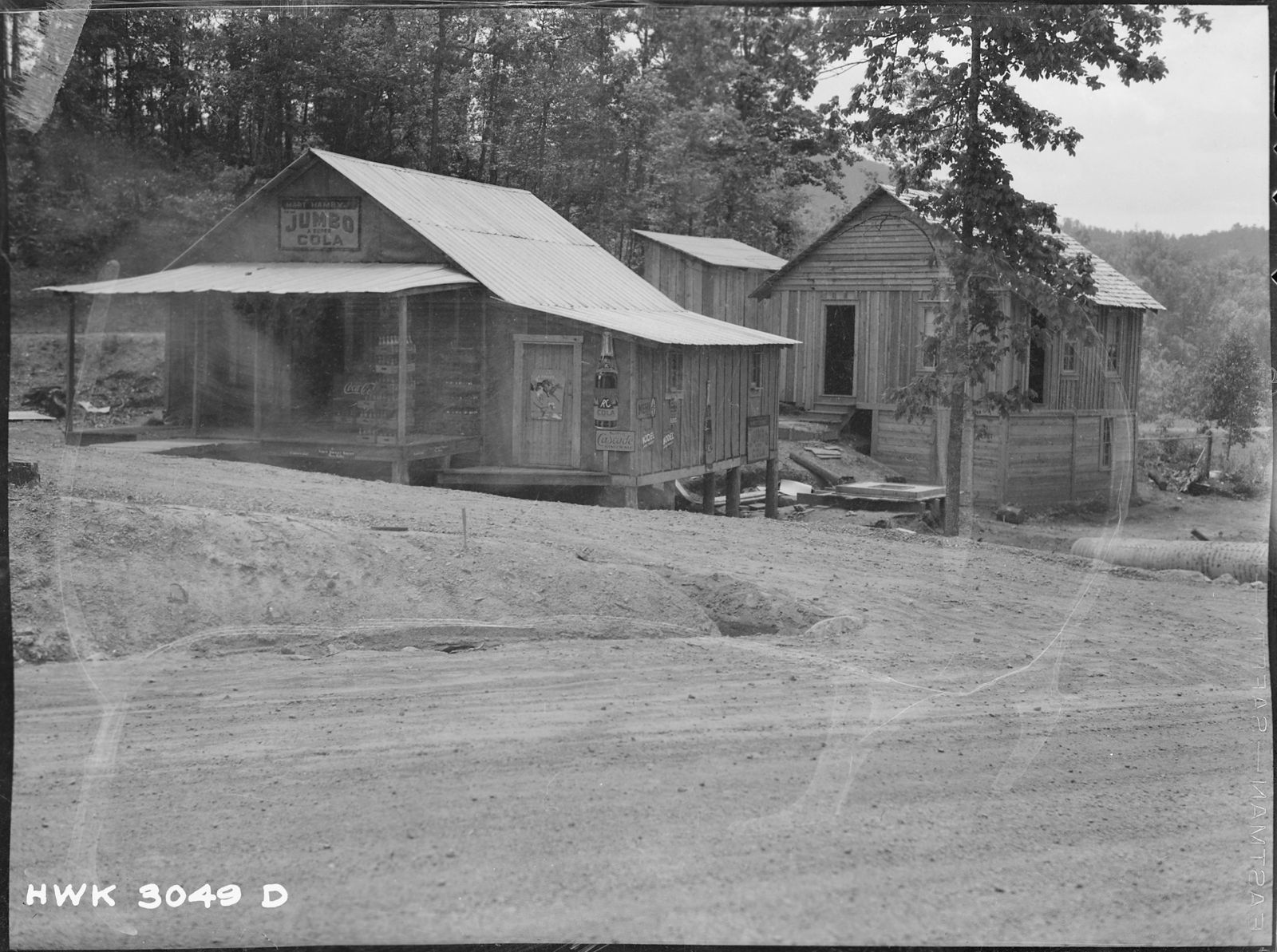
Life in the coves stayed close to home. A water mill ground the corn, steers and mules did the hauling, and a country store sold what nobody could make themselves.


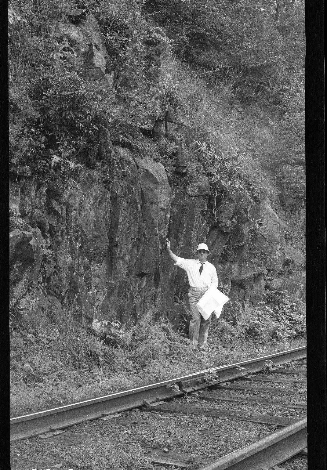
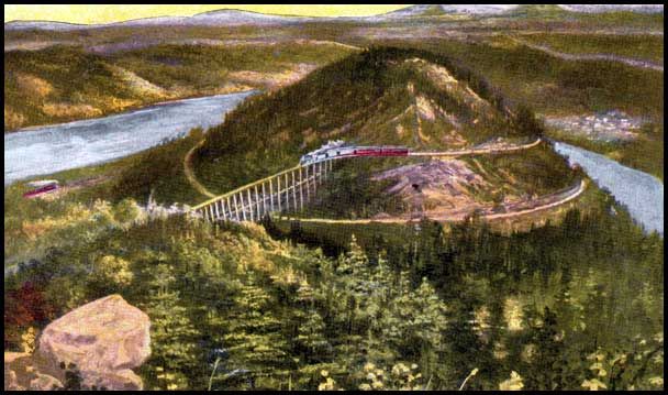
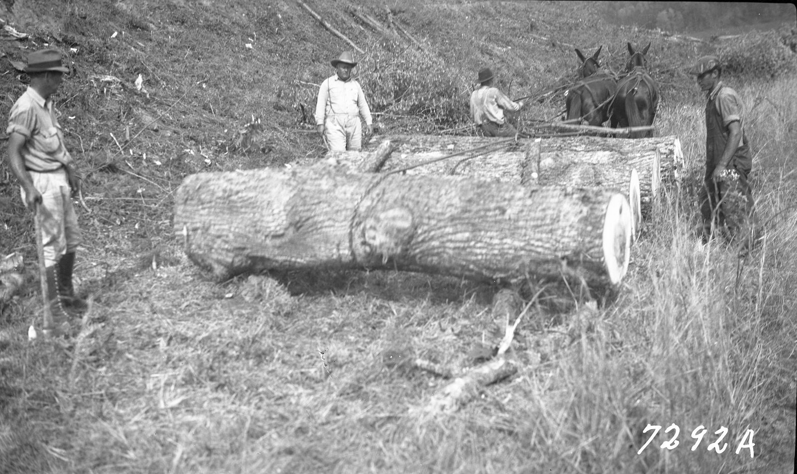
The railroad reached the gorge in 1890, when crews drove the final spike of the Knoxville Southern Railroad at Apalachia. Timber trains followed, and in 1898 engineers finished the Hiwassee Loop, where the track circles Bald Mountain and crosses over itself. It is one of only a handful of railroad loops in North America, and it is still in use.
The Hiwassee Loop around Bald Mountain, c. 1905.
Every spring the creek banks turn blue with wild violets, and the story goes that's how Violet got its name.
The railroad brought mail and news, and in 1909 a post office opened in the hollows nearby. Violet was never a town, just that one small office, where neighbors came for letters until it closed in 1933. Mapmakers had already written the name down, and it stuck. We're still looking for where the post office stood. We think it may have been near our front gate.
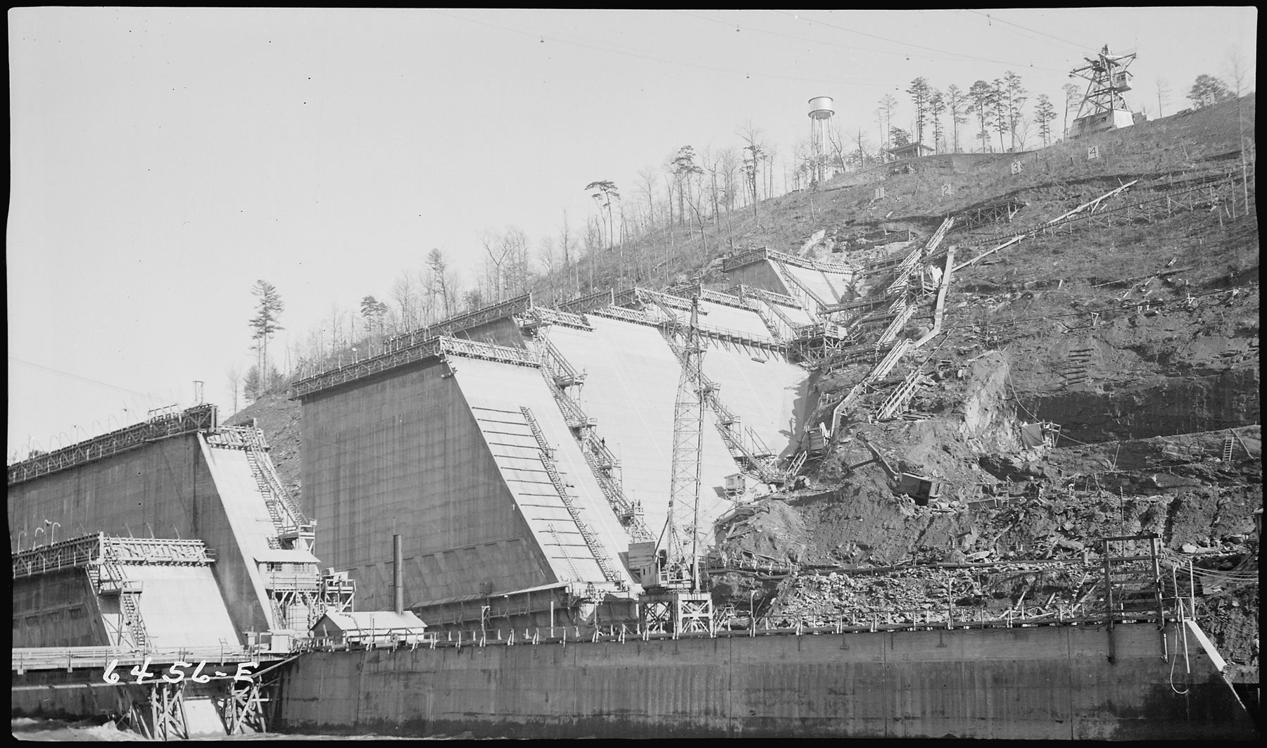
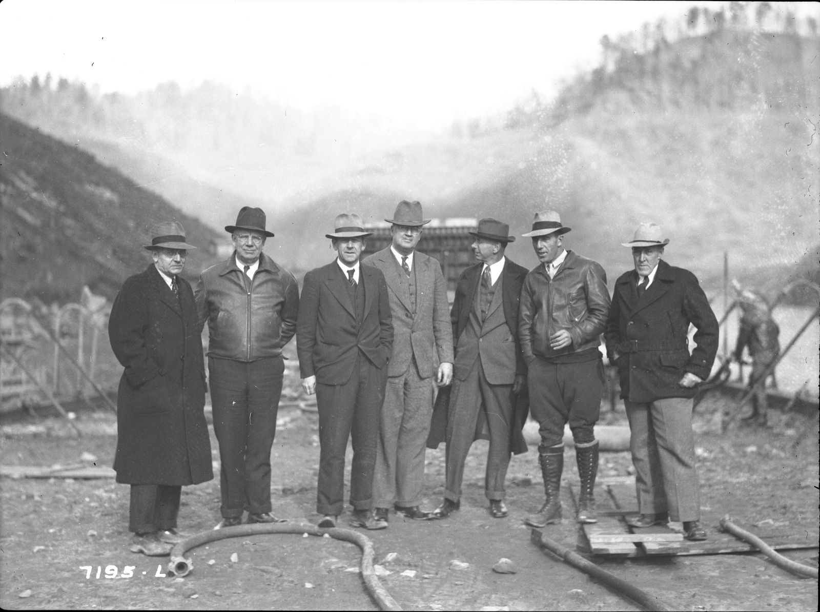
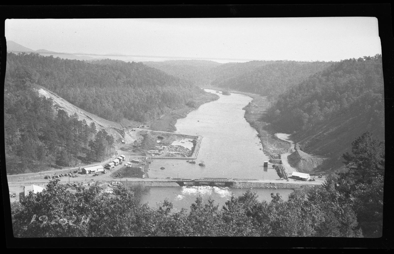
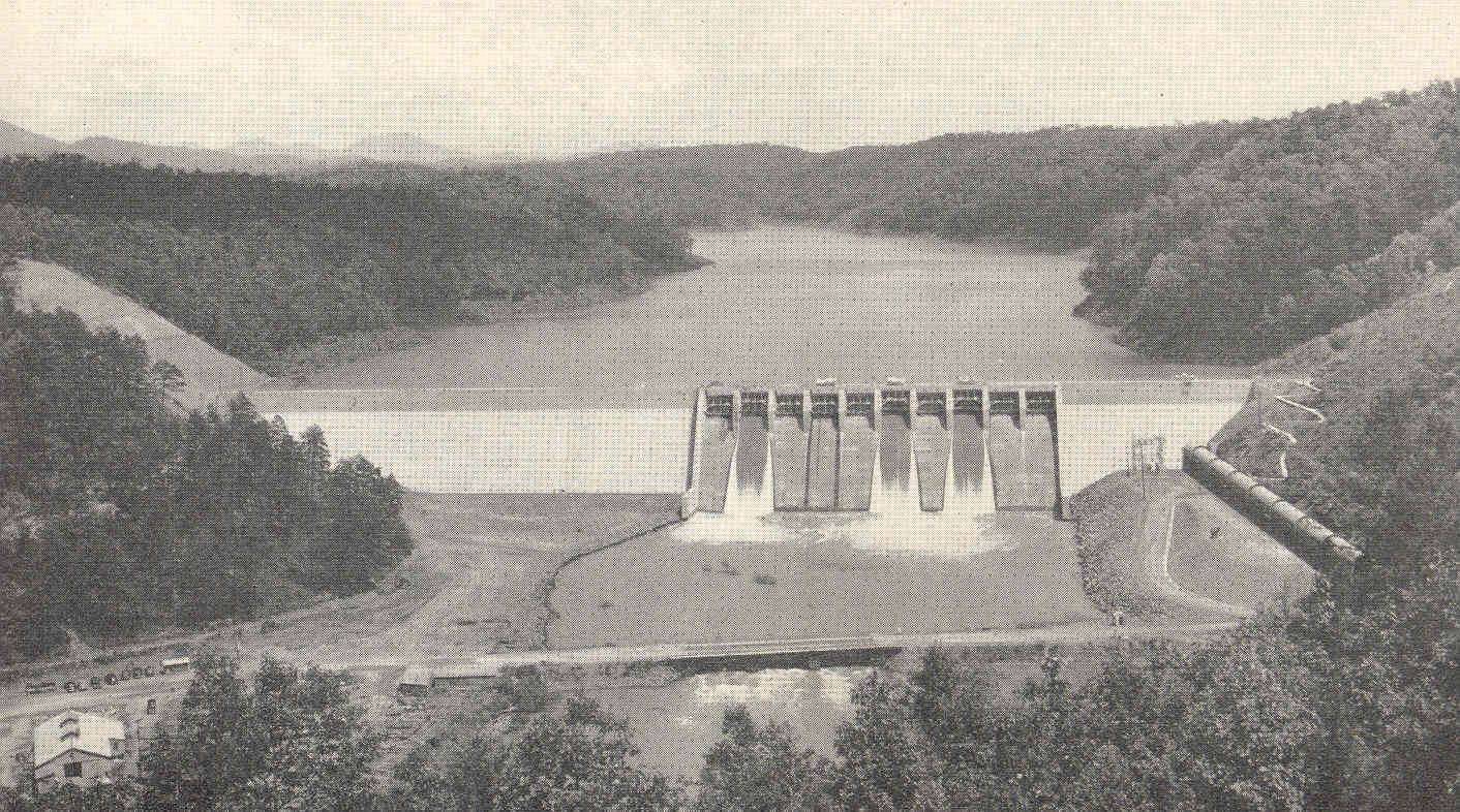
The railroad ran along the river, and the next big change came up the same valley. In 1936 work began on Hiwassee Dam, upriver. The Tennessee Valley Authority was building dams across the region, and each one meant a new lake where farms had been.
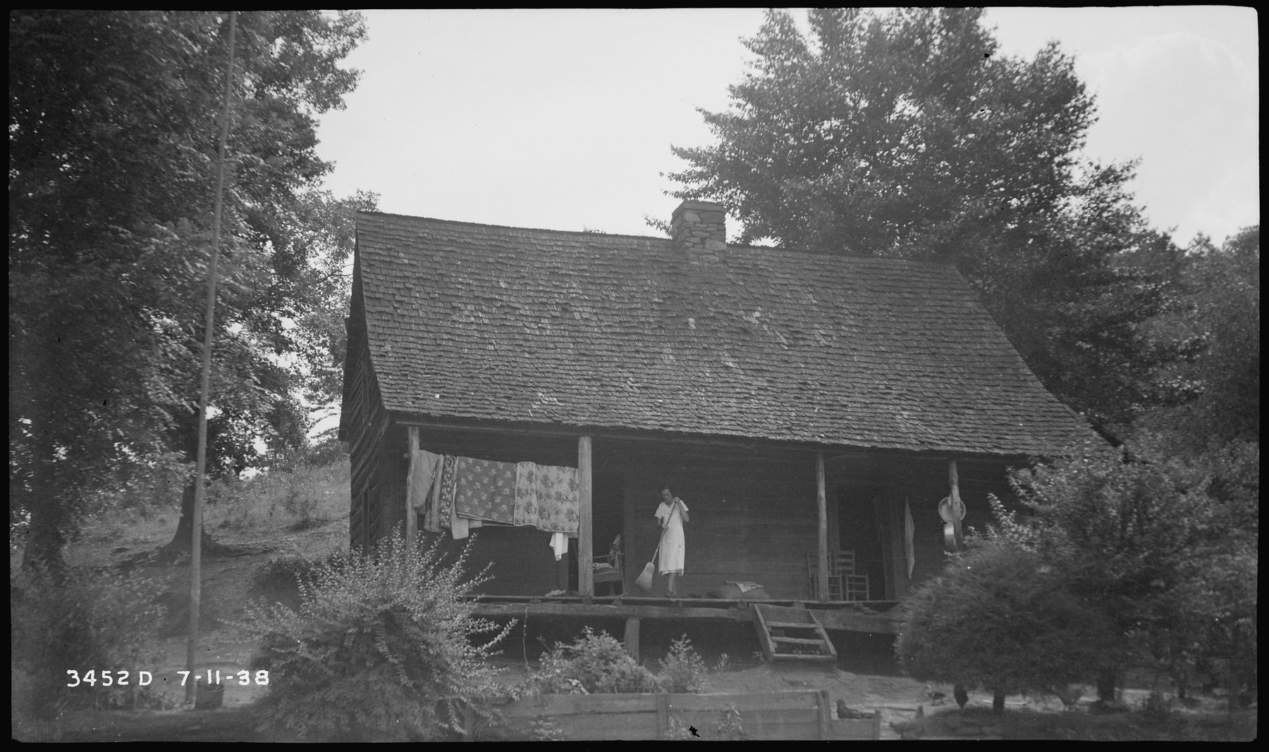
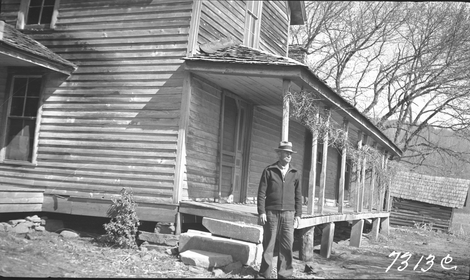
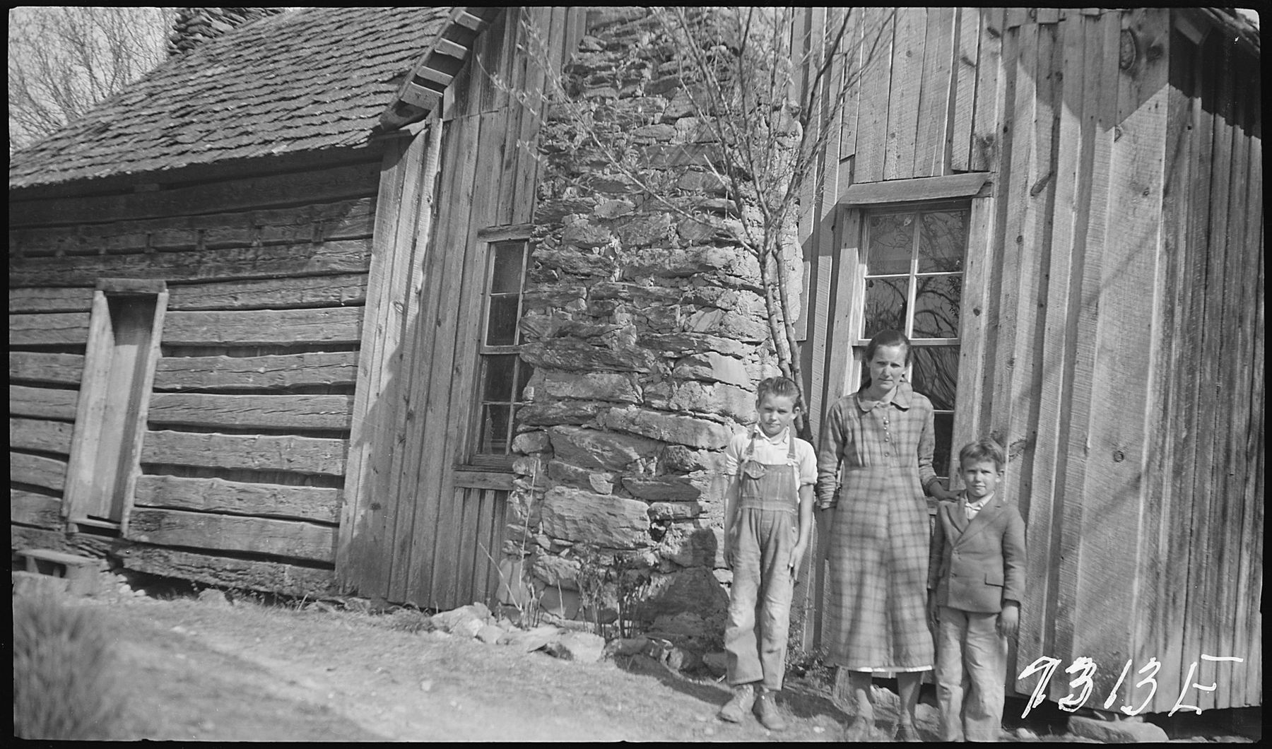
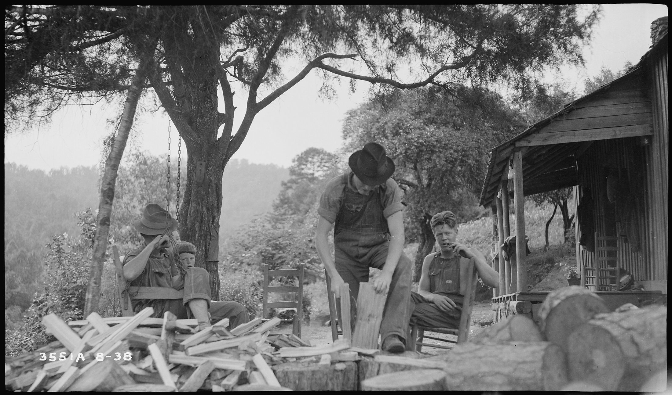
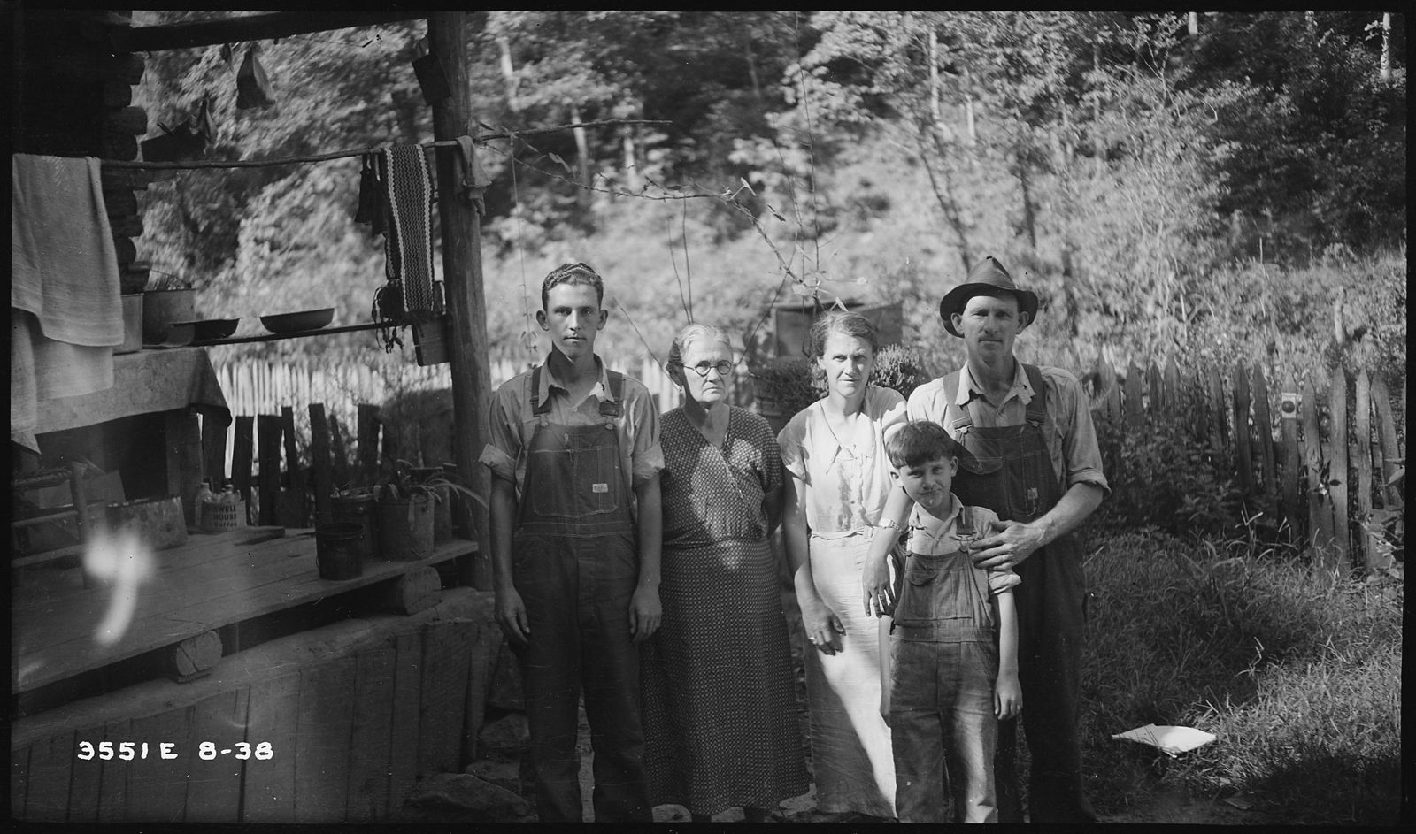
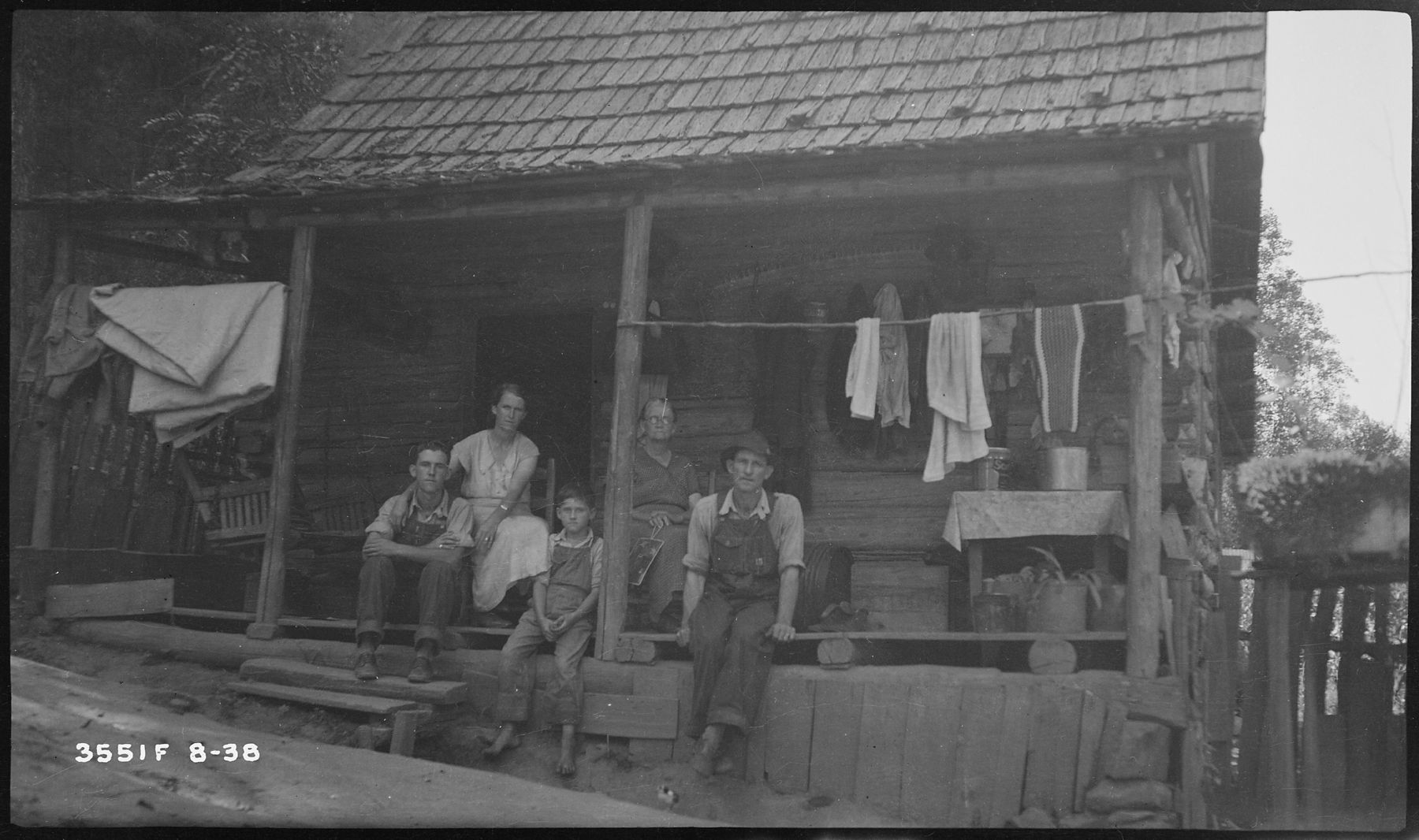
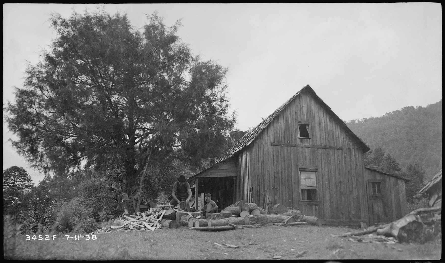
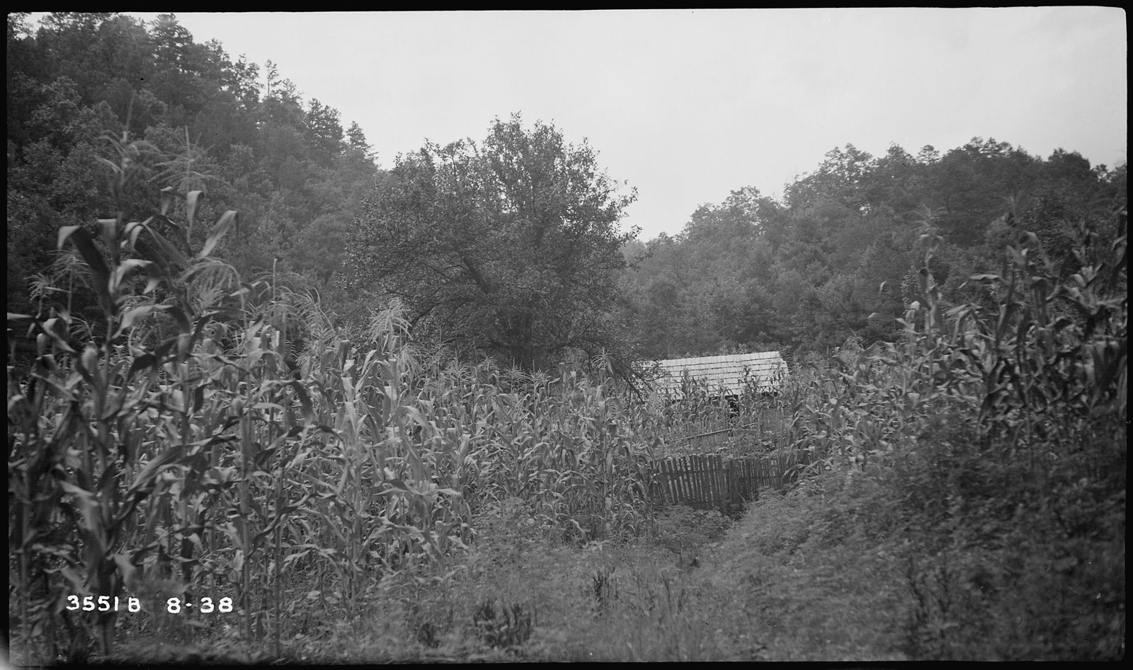
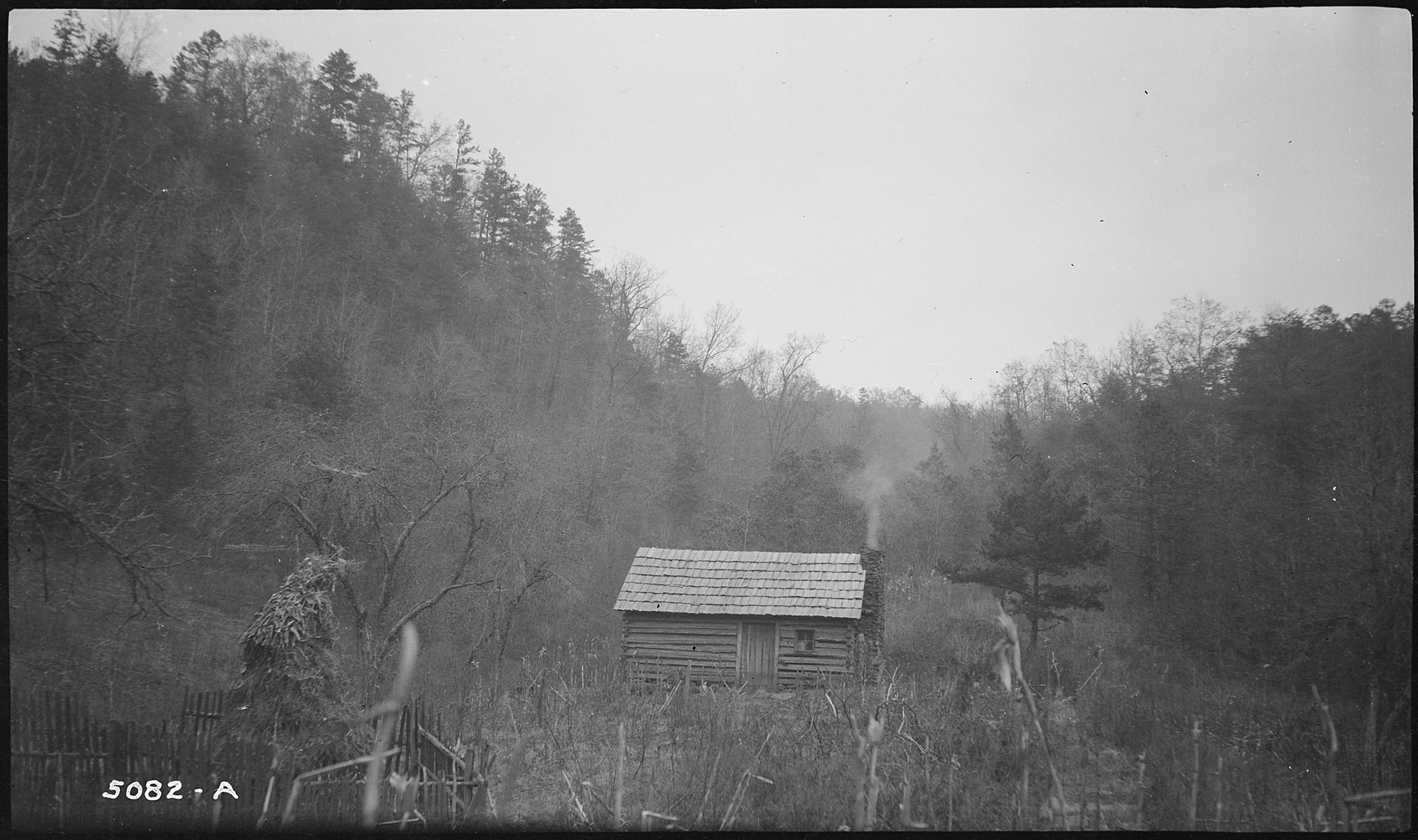
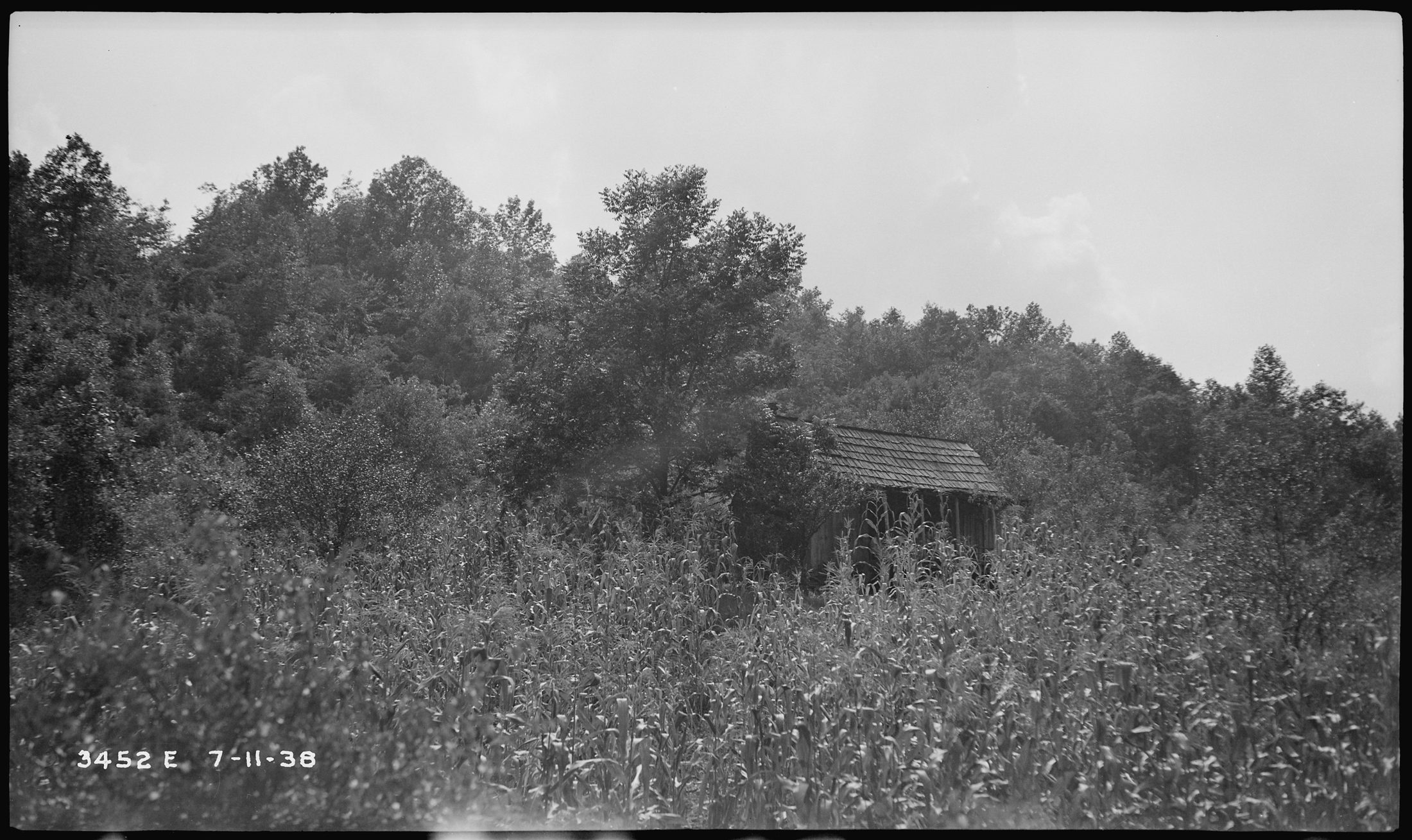
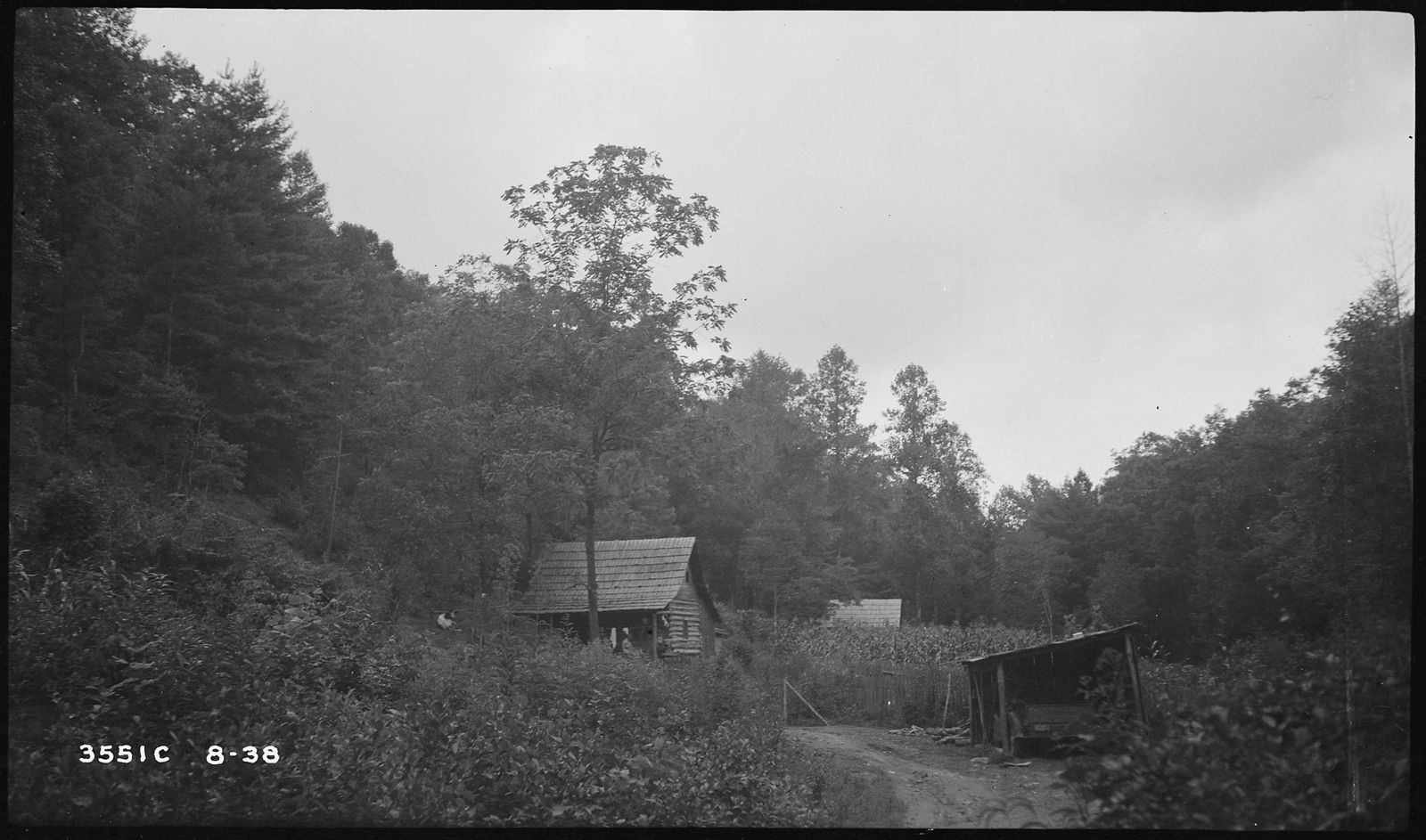
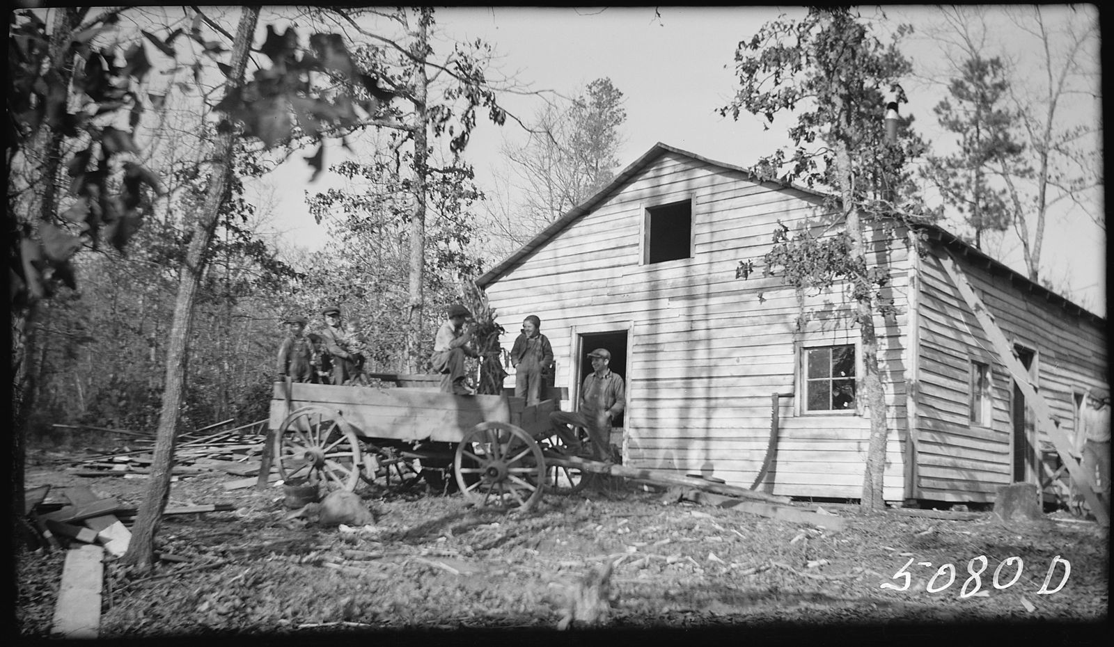
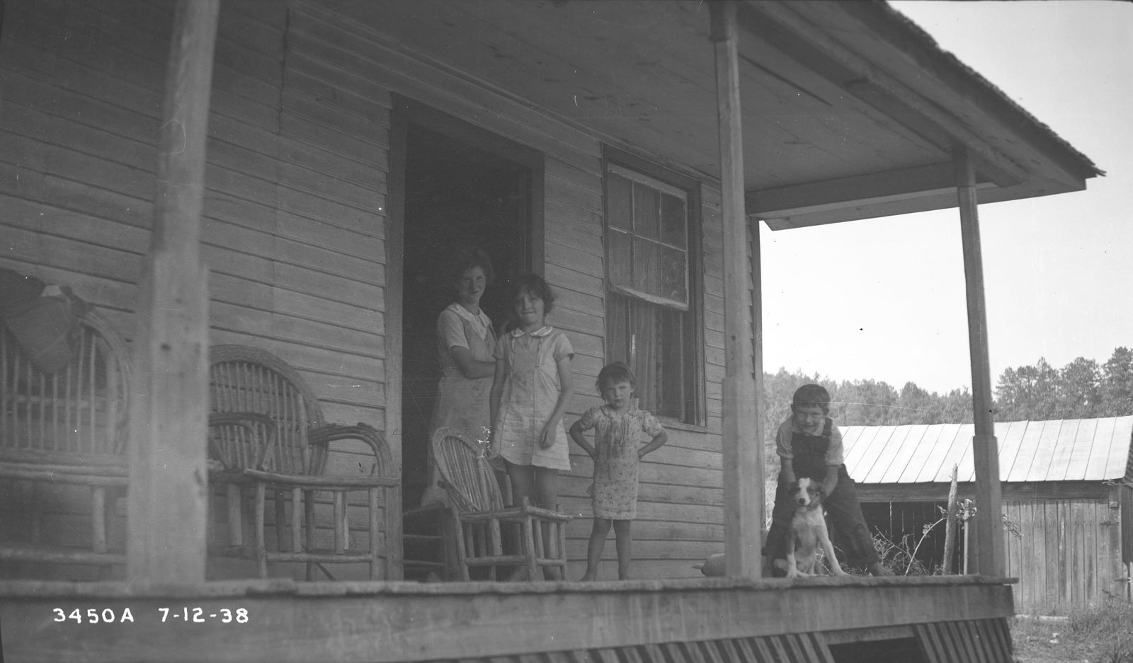
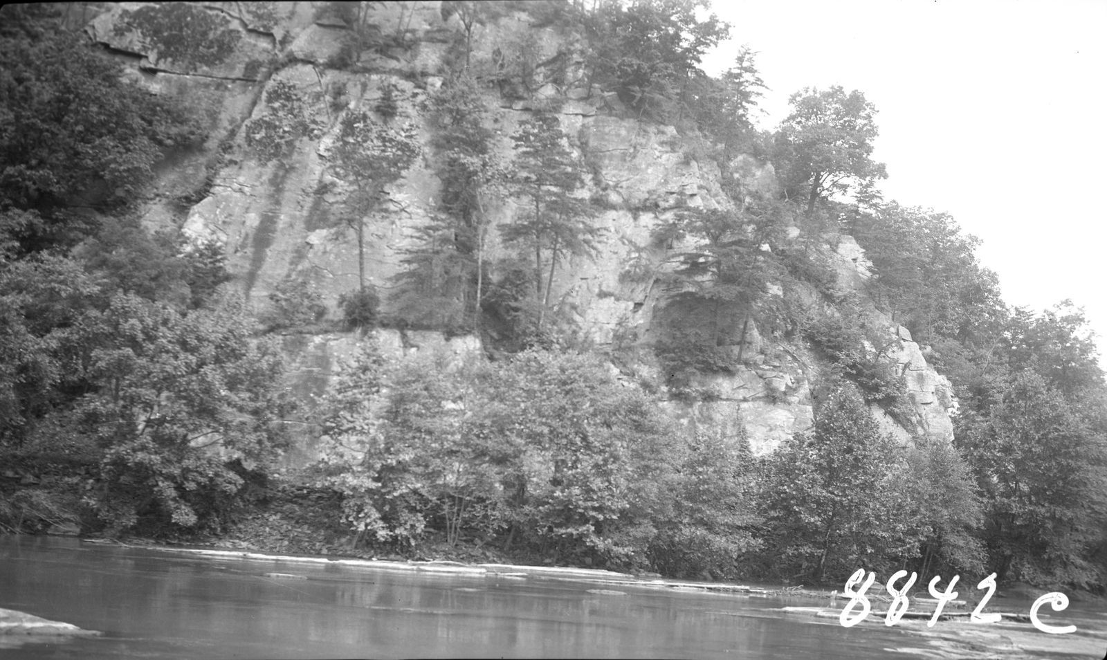
Before the water rose, the Tennessee Valley Authority sent photographers up every cove road to record each home. They left a portrait of a whole community, family by family, porch by porch.


TVA photographed more Morrow homes than any other family's: log houses, cornfields and woodpiles scattered through the hollows around Violet. A caseworker called their corner of the valley “an isolated and inaccessible portion of the Violet Settlement … There are only six families.”


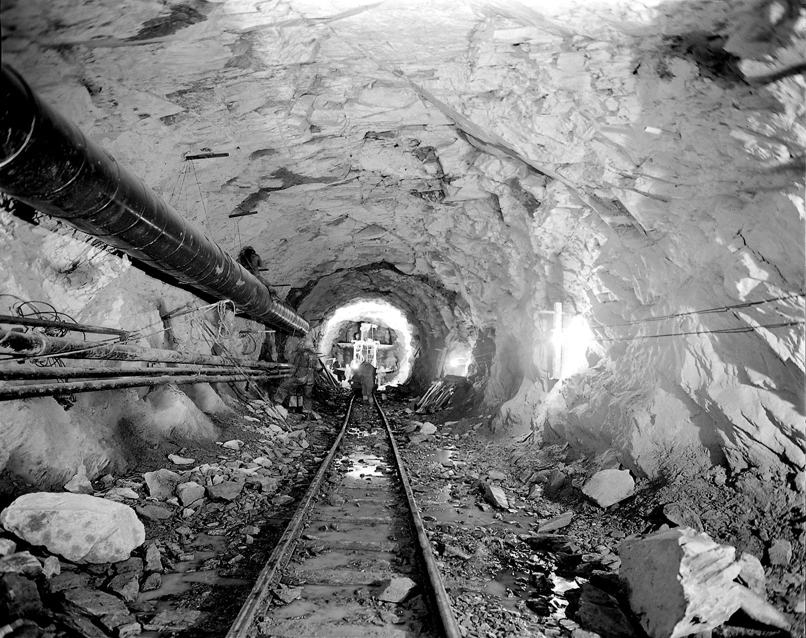
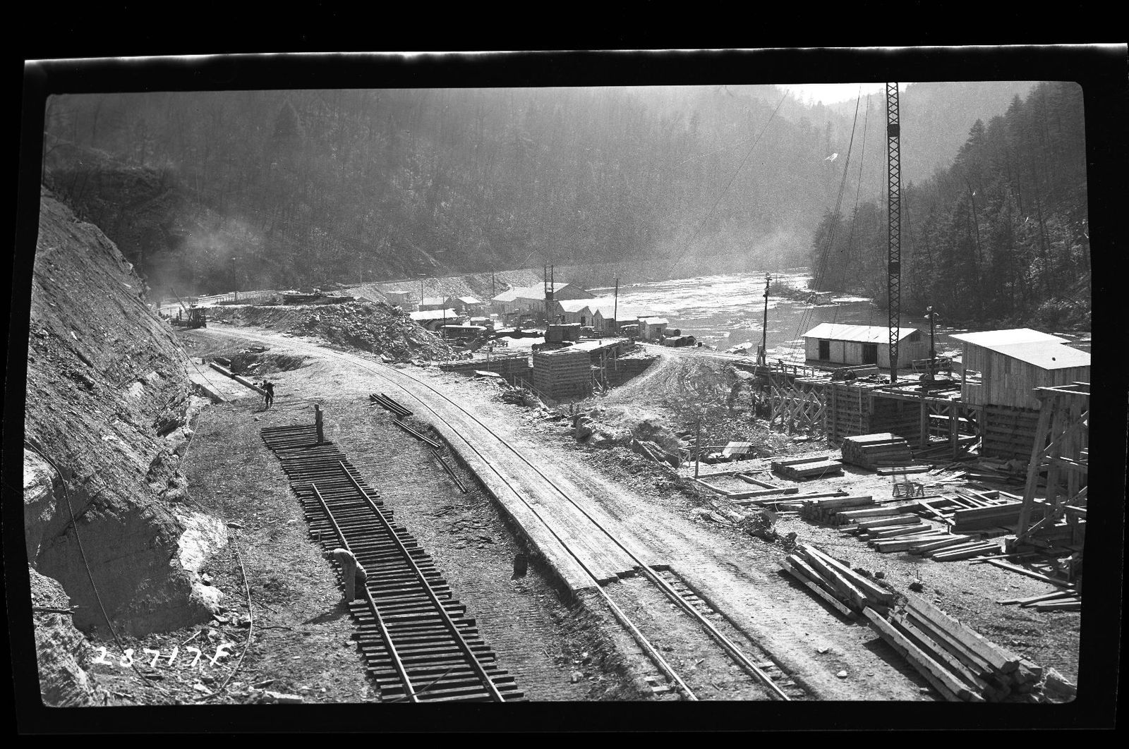
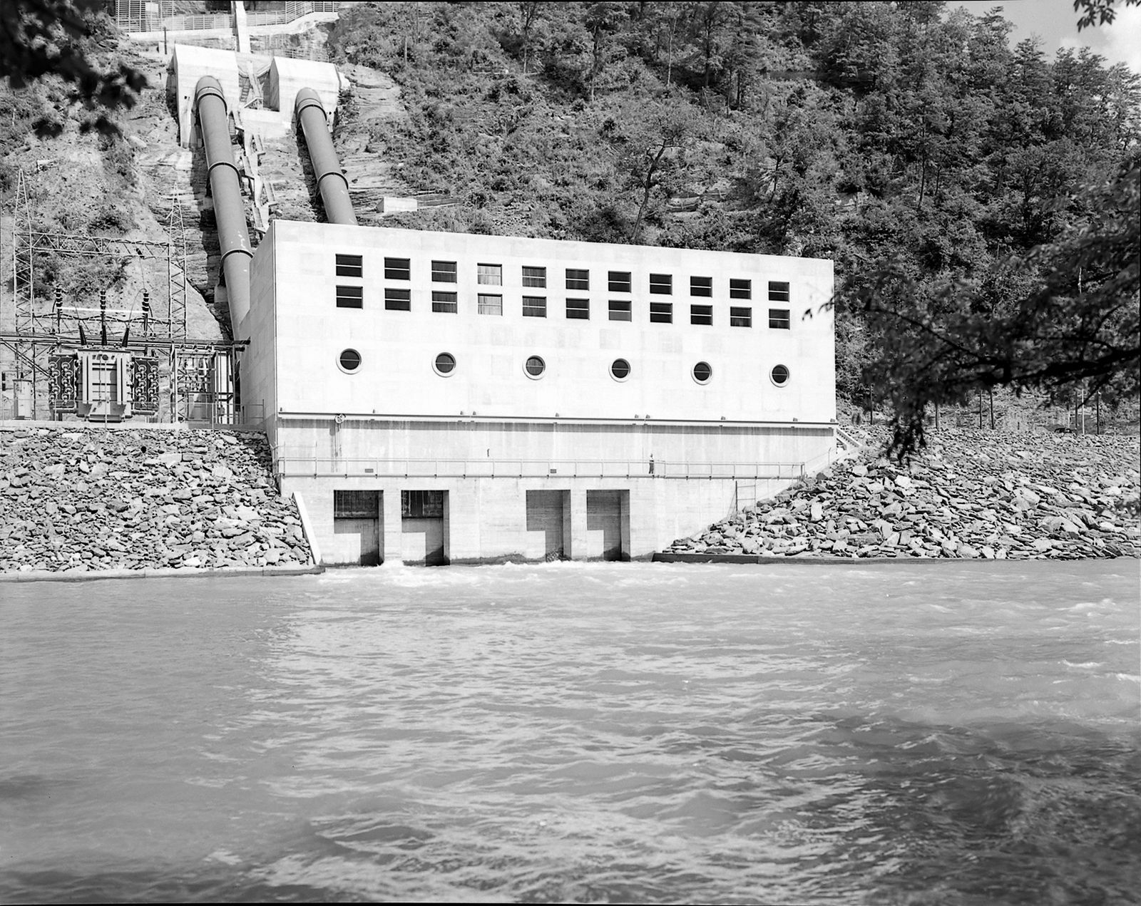
Then the war came. In 1941 Apalachia Dam became an emergency project to power aluminum production for wartime aircraft, and crews blasted an 8.3-mile tunnel through the mountain to carry the river to a new powerhouse.


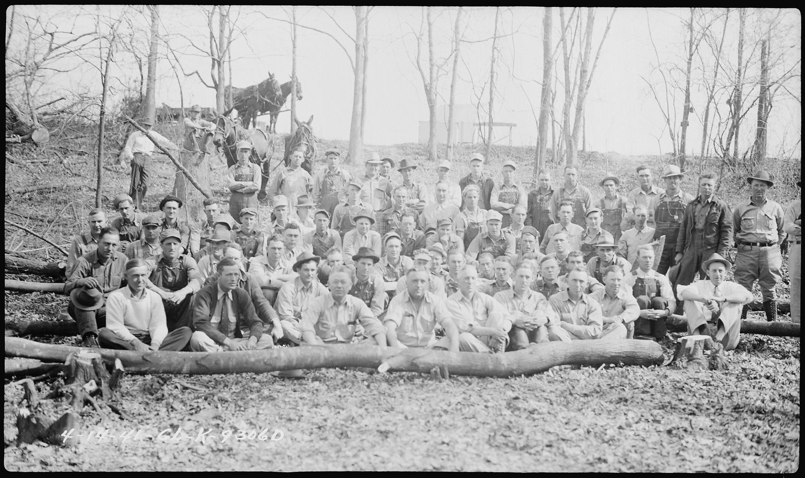
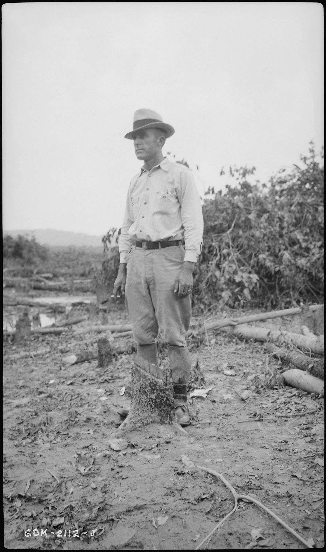
Once the waterline was set, everything below it had to go. Families in the river bottoms loaded their wagons and moved, and clearance crews took down every house, barn and tree behind them.


The gates of Apalachia Dam closed. The water rose over the bottomland farms and stopped below our hills. Lake Apalachia has been our southern shore ever since.
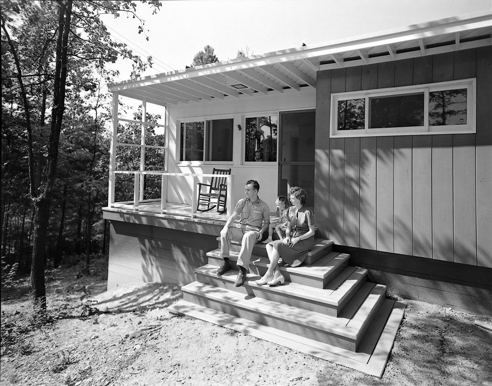
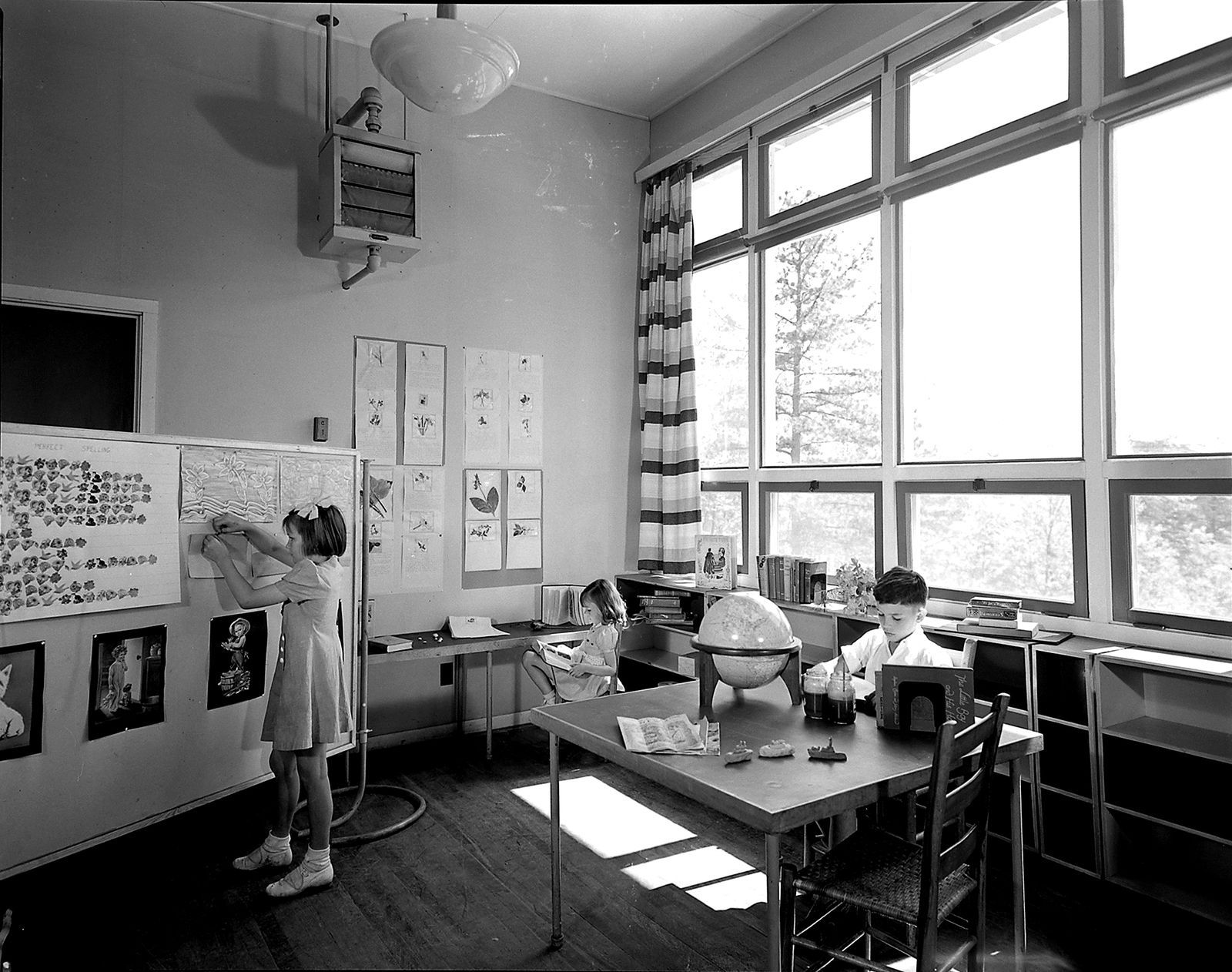
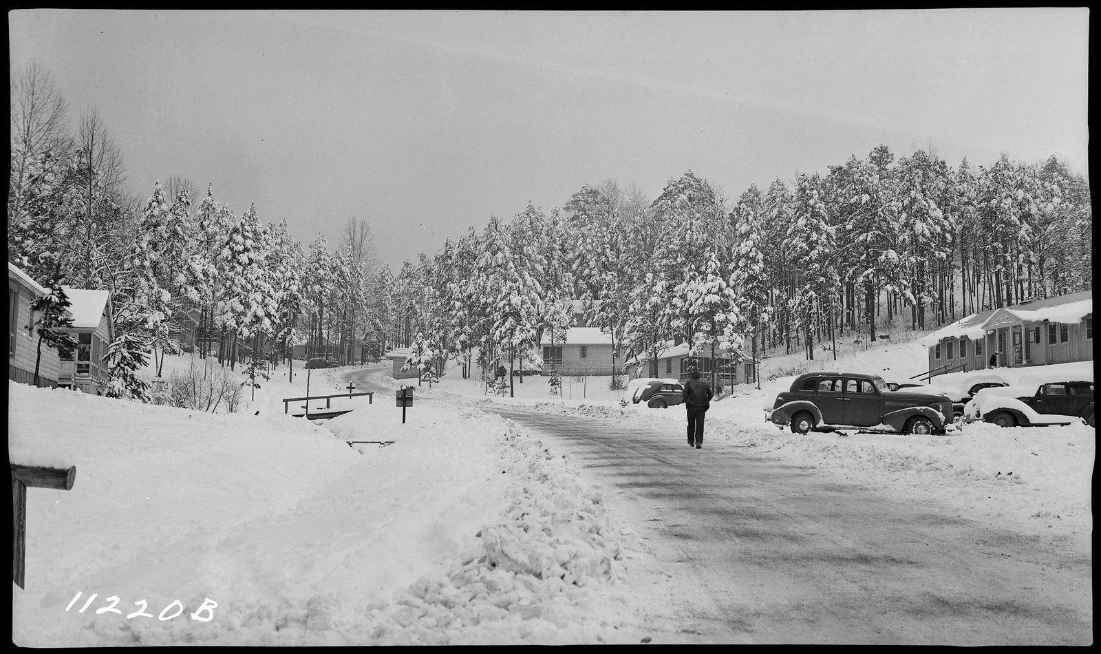
See the lake today →The dams brought new people to the hills, too. Workers' families filled villages like Smith Creek, with a schoolhouse for their children.
Not every family left. The Morrows kept their land on the Violet road, marked “John Morrow's Heirs” on TVA's 1941 map. A 1958 survey of what is now part of Highgrove reads “A.G. Morrow's Heirs, 84.2 Ac.” Max Morrow went on to work the neighboring tract for years.
Today, two generations of Morrows work at Highgrove, farming the land their people farmed.
Highgrove will take years to build. Leave your email and we'll send you the story as it happens, and first word when anything opens.